Business Details
Professional 3D Survey Services Loughborough
We are professional land and building surveyors specialising in high-accuracy 3D laser scanning services and 3D modelling. Our team comprises Chartered Surveyors, designers and modellers with over 30 years of construction industry experience. We serve diverse clients including national utility companies, private individuals, architects and local authorities, delivering solutions from domestic extensions to underground service tunnels. Our use of 3D laser scanning technology enables production of 2D and 3D drawings with unparalleled accuracy. We combine Faro Focus Scanners with Faro Scene software to create detailed point cloud surveys, while our in-house design expertise supports both residential and commercial projects.Our sister company Charnwood Building Plans provides planning permission drawings and building regulations plans, maintaining a 100% planning approval record for listed projects. We prioritise precision, eliminating surveying inaccuracies and reducing rework costs through advanced technology. Our services span topographical surveys, measured building surveys, utilities/GPR surveys and premises licence plans, serving clients across multiple sectors. With decades of combined experience, we deliver cost-effective, technically robust solutions tailored to project requirements.

Services
3D BIM Modelling
Laser Scanning
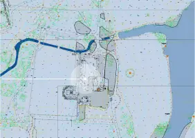
Topographical Survey
Measured Building Surveys
Design Services
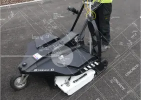
Utilities GPR Surveys
Premises Licence Plans
Highlights and features
- We have Chartered Surveyors with over 30 years of construction experience
- We utilise Faro Focus Scanners for sub-millimetre accuracy measurements
- Our sister company provides planning approval drawings with 100% success rate
- We combine laser scanning with GPR surveys for comprehensive data capture
- Our team delivers both survey data and technical design documentation
Services
3D BIM Modelling
We create intelligent 3D information models using Building Information Modelling processes. Our BIM services support architecture, engineering and construction professionals with accurate digital representations of physical assets. This technology enables efficient planning, design and management of buildings throughout their lifecycle.
Laser Scanning
We utilise Faro Focus Scanners to capture half a million data points per second. Our laser scanning technology produces detailed point cloud surveys with accuracy from 1-330 meter ranges. This enables creation of precise 2D/3D drawings for complex structures.
Measured Surveys
We conduct high-accuracy measured building surveys using robotic total stations and laser technology. Our surveys provide detailed dimensional data for existing structures, supporting renovation and extension projects with reliable baseline information.
Topographical Survey
We produce detailed topographical surveys mapping land features and elevations. Our surveys support planning applications and construction projects with accurate terrain data captured using modern surveying equipment.
Utilities GPR Surveys
We combine ground penetrating radar with conventional methods to map underground utilities. Our non-invasive surveys identify buried services with precision, reducing risks during construction and excavation projects.
Questions
What survey accuracy can you guarantee?
We achieve sub-millimetre accuracy using Faro Focus Scanners, with point cloud data verified against industry standards.
Do you handle listed building projects?
Yes, we have a 100% planning approval record for listed buildings through precise surveying and technical documentation.
Can you assist with premises licence plans?
We produce fully compliant scaled floor plans meeting Licensing Act 2003 requirements for alcohol/entertainment venues.
What industries do you serve?
We work with utility companies, architects, local authorities and private clients on domestic, commercial and infrastructure projects.
How do you deliver survey data?
We provide CAD-compatible files including AutoCAD and Revit formats, with point cloud data available in native formats.