
Business Details
25 Years
experience
Professional Mapping and Web Design Solutions
Established in 2001, our business specialises in delivering precise cartographic solutions and tailored web design services. We utilise high-quality Ordnance Survey data to produce customised maps for sales particulars and title deeds, available in multiple scales and print-ready formats. Our web design approach focuses on collaborative brief development, ensuring websites align with corporate branding or introduce fresh visual identities.With expertise in both digital mapping and web technologies, we prioritise accuracy, client-specific customisation, and efficient project delivery. Our services cater to clients requiring geospatial visualisations and online platforms that reflect their unique operational needs.
Services
Digital Mapping
Web Design
Cartography
Map Customisation
Historical Research
Details
- Year established: 2001
Highlights and features
- We offer 24 years of experience in cartography and web development
- Our maps use official Ordnance Survey data for guaranteed accuracy
- Custom designs align with existing corporate branding guidelines
- Quick turnaround times for urgent mapping and web projects
- Client-centric approach ensuring tailored solutions
Services
Digital Mapping
We produce high-precision maps using official Ordnance Survey data. Our digital mapping service includes custom overlays for property boundaries, access routes, and location details. Clients receive print-ready files in full colour or monochrome at scales ranging from 1:1250 to 1:1m.
Web Design
Our web design solutions combine functionality with aesthetic appeal. We collaborate with clients to develop websites that align with brand identity or establish new visual directions. Projects are delivered within agreed budgets and timelines, maintaining technical compatibility with existing marketing materials.
Map Customisation
We offer bespoke map customisation options including property outlines, textual annotations, and access information overlays. Maps are available in multiple formats from A5 to A0 size, with optional aerial photography integration and precise area/length measurements.
Historical Research
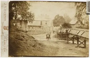
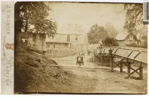
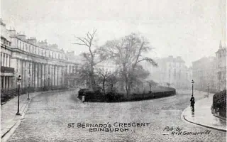
Our historical mapping projects combine archival research with modern geospatial techniques. We create comparative visualisations by overlaying historical photographs with current views, documenting urban development changes over time through interactive digital presentations.
Print-Ready Files
We supply maps in high-resolution formats suitable for professional printing. All outputs maintain technical accuracy while allowing customisation for specific publication needs, including scale variations and format adaptations from A5 to A0 sizes.
People
Debbie O'Connor
Owner & Lead Designer
Debbie O'Connor combines cartographic expertise with web development skills, delivering precise mapping solutions and tailored websites. With over two decades of experience, she specialises in transforming complex geospatial data into clear visual representations while maintaining strict project deadlines.
Questions
What mapping services do you offer?
We provide digital mapping services using Ordnance Survey data, creating customised maps with property outlines, access details, and textual annotations in various scales and print-ready formats.
Do you offer web design solutions?
Yes, we create tailored websites that align with existing brand guidelines or establish new visual identities, ensuring technical compatibility with corporate literature and marketing materials.
What map scales are available?
Our maps are available at scales ranging from 1:1250 to 1:1m, with format options from A5 to A0 sizes to suit different publication requirements.
Can you incorporate historical data?
We specialise in historical mapping projects, creating comparative visualisations by overlaying archival photographs with modern views to document urban development changes over time.
How quickly can you complete projects?
We prioritise efficient delivery while maintaining technical accuracy, with turnaround times adjusted to client deadlines for both mapping and web development projects.
How do you ensure map accuracy?
All our maps use official Ordnance Survey data as base material, ensuring geospatial precision while allowing custom overlays for property boundaries, access routes, and location details.