
Business Details
38 Years
experience
Chartered Land Surveyors in Redruth & Exeter
Established in 1988, Kemp Chartered Engineering & Surveying has grown from a specialist in engineering setting out for major road projects to a multidisciplinary surveying firm serving clients across the UK. Our expertise spans topographic and measured building surveys, utility mapping, UAV aerial surveys, and deformation monitoring, supported by cutting-edge technology and a commitment to precision. We opened our Seeka Utility Surveys division in 2006, becoming pioneers in subsurface utility detection across the South West.With offices in Redruth and Exeter, our team provides tailored geomatic solutions for infrastructure, construction, and development projects, combining decades of experience with continuous staff training to maintain industry leadership. Our ISO9001 certification and Construction Line Gold accreditation underscore our dedication to quality-assured services, while our early adoption of 3D laser scanning and drone technology ensures we deliver data-driven insights that meet evolving client needs.

Services
Topographical Surveys
Measured Building Surveys
Utility Surveys
UAV Aerial Surveys
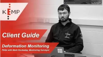
Deformation Monitoring
Details
- Year established: 1988
Highlights and features
- Established in 1988 with continuous expertise in surveying and engineering
- ISO9001-certified quality management systems
- Pioneers in UAV and 3D laser scanning technology adoption
- Project lifecycle support from initial surveys to final measurements
- Tailored services for construction, infrastructure, and development sectors
Associations and certifications
- RICS
- ISO 9001
- Construction Line Gold
What people say
Fantastic job on utility work
Responsive and helpful team
Excellent site support in adverse conditions
Industry-leading insight and results
Trusted specialists in precision surveying
Services
Topographical Surveys
We create detailed terrain maps showing natural and man-made features using traditional and 3D scanning methods. Our surveys support planning applications, construction layouts, and land management. Clients benefit from accurate elevation data and boundary definitions for development projects.
Utility Surveys
Our PAS 128-compliant surveys locate and map subsurface utilities like water, gas, and electrical services. This prevents damage during excavation and informs design decisions. We use ground-penetrating radar and CCTV drainage inspections to ensure comprehensive service coverage.
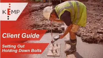
Setting Out Services
We transfer architectural and engineering plans to physical site locations with millimetre precision. Our engineers support projects from small self-builds to major infrastructure works, providing error correction and schedule catch-up assistance to maintain project timelines.
UAV Aerial Surveys
Drones capture high-resolution aerial imagery and topographic data for large sites. This technology enables efficient progress monitoring, volume calculations, and 3D model creation, reducing on-site time while maintaining survey accuracy for earthworks and infrastructure projects.
Measured Building Surveys
We produce precise architectural drawings of existing structures using laser scanning and traditional techniques. These surveys support renovation projects, BIM integration, and heritage preservation by documenting exact dimensions and structural details for engineering and design purposes.
Questions
What does a chartered land surveyor do?
We conduct precise land measurements, create topographic maps, and provide spatial data for construction projects, ensuring regulatory compliance and accurate boundary definitions.
Why are utility surveys important for construction?
They identify underground services to prevent damage during excavation, ensuring safety, avoiding project delays, and complying with health and safety regulations.
How does setting out ensure construction accuracy?
We translate design plans to physical site markers, preventing costly errors by aligning foundations, structures, and infrastructure with approved specifications.
What technology does Kemp use for surveys?
We employ 3D laser scanners, UAV drones, and ground-penetrating radar alongside traditional methods to deliver comprehensive, high-precision survey data.
Do you operate outside Devon and Cornwall?
While based in the South West, we provide surveying services nationwide, supporting major infrastructure projects across the UK with mobile teams.